
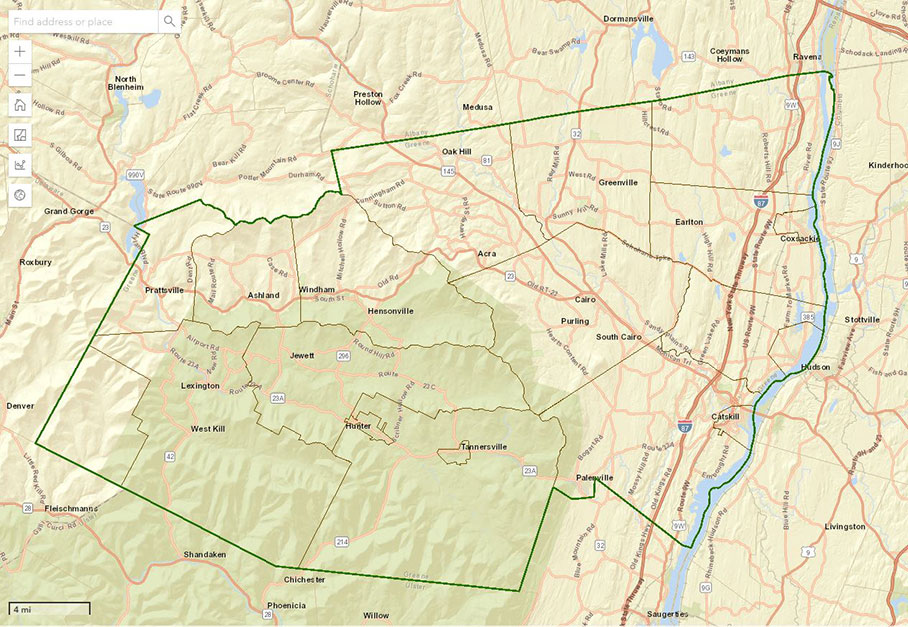
Greene County RPTS Launches Improved Web Map
On December 23, 2019 Greene County Real Property Tax Services Geographic Information Services (GIS) division launched a new and improved public parcel viewer application, otherwise known as the Greene Web Map.
The Greene Web Map can be accessed at https://gis.gcgovny.com/greenewebmap/
or clicking the icon on greenegovernment.com.

The Greene Web Map continues to be linked with our partner site
Greene County SDG Image Mate Online for current parcel assessment information
as well as parcel history for recorded deed and map information.
The Greene Web Map is the fourth iteration of the parcel viewer application initially launched in 2006. The application leverages the latest ESRI JavaScript API and ArcGIS Portal. With the new application we are no longer dependent on a third party to add additional Greene County layers and in the near future we will be adding layers such as Election Districts, Polling Sites and Greene County’s Natural Resource Inventory. In addition, we are now be able to consume other map services into the parcel viewer such as FEMA National Flood Hazard Layers and DEC Information Layers.
